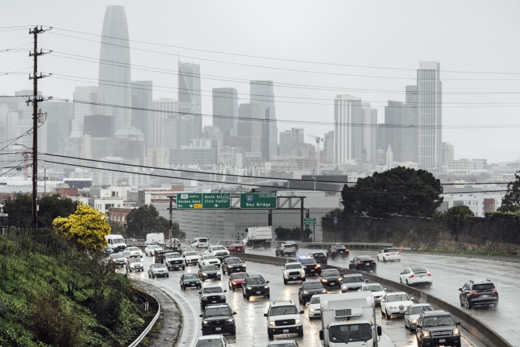
The West Coast braced for severe weather Thursday and this weekend as more than 22 million people were under flood alerts and authorities prepared for back-to-back Pacific storms.
Some 32 million people are also under high wind alerts, meaning widespread power outages are possible due to the “atmospheric river” effect, caused by airborne currents of dense moisture.
The two storms, due Thursday and Sunday into Monday, also fit the description of a “Pineapple Express,” having originated in the subtropical waters around Hawaii.
High areas will be hit by snow and further inland, into the Rockies, more than a million people were under winter weather alerts, with several feet of snow expected in some places. Areas above 7,000 feet could see 12 to 18 inches of snow, National Weather Service meteorologist Robert Hart said in a briefing Wednesday.
Heavy snow arrived early Thursday in Soda Springs, Nevada County, California, where drone footage showed backed-up traffic, cars losing control and snowplows out in force on Interstate 80.
Up to 2 feet of snow could fall in the Sierras through Friday.

Severe weather has already caused 70 mph winds in California. Early Thursday, firefighters in Sonoma County rescued a driver from a car that had driven into a flooded road and was taking on water. The Sonoma County Fire District added in a post on X: “Don’t risk it, if water is flowing over the road #TurnAroundDontDrown.”
Gusts of up to 45 mph across California could lead to power outages.
On Wednesday morning, firefighters rescued a girl after a tree fell and left her trapped inside her home in Saratoga, California. She suffered injuries that were not life-threatening and was treated in a hospital.
Southern California is expected to bear the brunt of Thursday’s deluge, with between 1 and 3 inches of rain expected. In a briefing Wednesday night, the weather service said localized thunderstorms could bring even more rain. The region is still recovering from record-breaking rainfall and flooding in recent weeks.
Orange County and San Bernardino, California, could receive intense rain from 9 a.m. PT (12 p.m. ET), the agency said, while parts of San Bernardino and the mountains of Riverside County will see heavy snow.
There may be a brief respite from the weather for California on Saturday, but another likely stronger storm is due Sunday into Monday, again bringing heavy rain, wind and snow.
The California Department of Water Resources said it had nearly 5 million sandbags and more than 62,000 flood-blocking “super sacks” ready to close levee breaches.
The city of San Diego issued a voluntary evacuation warning to people in flood-prone areas, including Southcrest, Mountain View, Encanto, San Ysidro, Sorrento Valley and Mission Valley. The city has opened a shelter for affected people at the municipal gym in Balboa Park and is arranging transport.
“Residents in these areas should consider gathering important documents and belongings and make sure you have a plan to move yourself and your family out of harm’s way should major flooding occur,” Mayor Todd Gloria said in a statement
“Protect your property, clear those drains, have a plan and a ‘go’ kit so you’re ready. Please take these steps to stay prepared, and stay informed,” Jeff Toney, director of emergency services for San Diego County, said in a news conference Wednesday. The county is offering residents free sandbags to form their own flood defenses.
The San Bernardino County Sheriff’s Office warned of an increase in traffic accidents during the stormy weather. It said a post on X on Wednesday night: “Slow down & give yourself extra time to get to your destination alive.”
The San Diego Humane Society urged pet owners to make sure their animals had up-to-date ID tags and microchips, in case they go missing during the storms.
The second of two California storms, expected to hit Sunday through Tuesday, is expected to be the stronger one bringing new threats of high winds and power outages.
The new round of flood threats will be greatest in the Bay Area on Sunday and in Los Angeles on Monday.
These West Coast systems will be headed east and could reach much of central and north Texas by Friday.
While much of the West struggles with this wild weather, some regions are enjoying warmer-than-usual temperatures here in the heart of winter.
The mercury reached 68 degrees in Boise, Idaho on Wednesday, making it the state’s warmest January day on record.
It should reach the low 40s and mid 60s in Green Bay, Wisconsin and Topeka, Kansas on Thursday, which would be much warmer than normal temperatures for this time of year.
